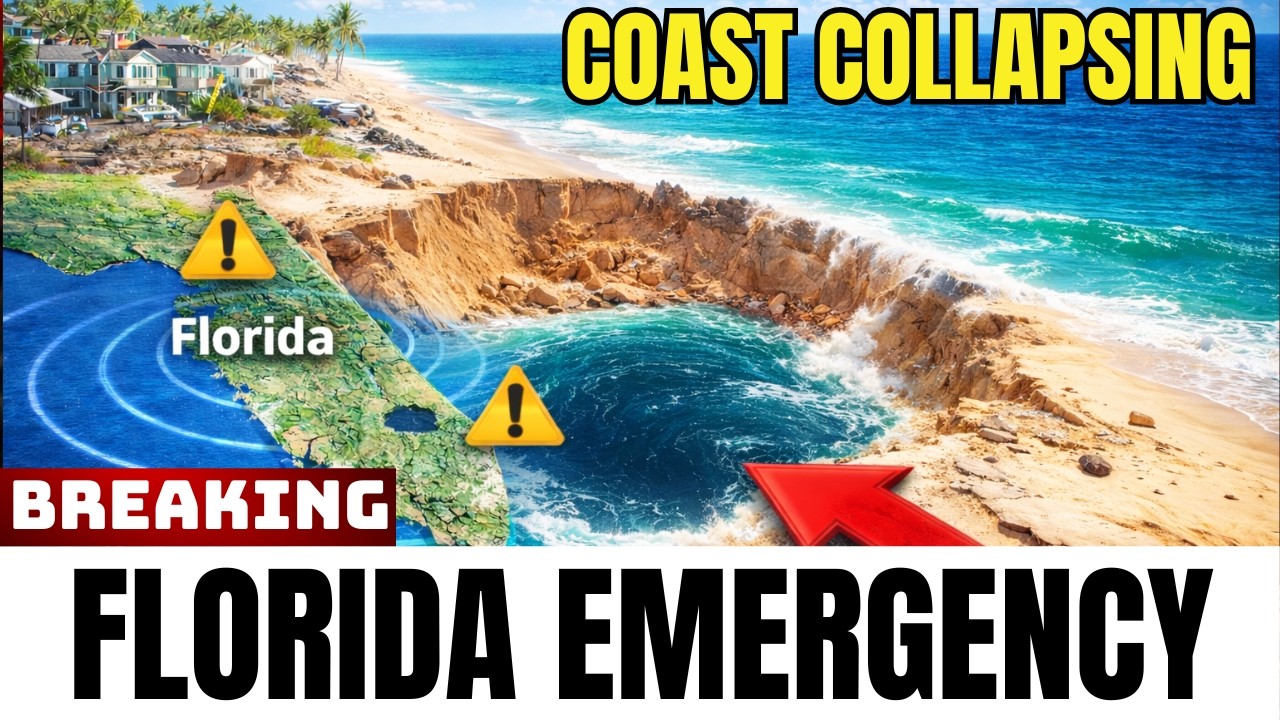
In late 2024, a NOAA research vessel mapping the continental shelf near the Florida Straits identified large circular depressions on the seafloor. Some of these sinkholes measured over 300 feet across and descended deeper than a 30-story building. Underwater drone footage showed sediment columns spiraling downward and water currents flowing into the voids. Researchers determined that these features were not ancient formations but were actively forming in real time.
One newly mapped sinkhole lies less than 25 miles from Key West, an area frequently used by cruise liners, fishing boats, and diving excursions. Scientists are investigating several possible causes. Some suggest that ancient freshwater aquifers beneath the seabed are collapsing as seawater pressure changes. Others believe methane gas trapped in the Earth’s crust is venting upward and creating weak zones that eventually implode. Some of the sinkholes appear to be connected by subterranean channels, which could indicate a larger collapse system spreading beneath the seafloor. Researchers are installing pressure monitors and deep-sea sensors to detect early warning signs, though new sinkholes continue to be spotted regularly.

In the Florida Keys, stretches of coral reefs have been observed glowing in shades of blue, purple, and neon green. Scientists attribute this to fluorescent bleaching, a process in which corals under stress release fluorescent proteins as a protective response. In 2025, sea surface temperatures around Florida reached record highs, and satellite imagery showed the glow spreading across more than 100 miles of reef. The fluorescence is not a sign of health but an indicator that coral is under extreme pressure.
Coral die-off rates have doubled in two years, and fish populations are declining as habitats degrade. Some marine reserves have been declared ecological disaster zones. Florida’s coral reefs generate over $8 billion annually through tourism, diving, and fishing, and they also help protect coastlines from storm surges and erosion. Marine biologists are experimenting with assisted coral reproduction, selective breeding of heat-resistant corals, and underwater shade structures to reduce water temperature. These measures are considered temporary responses to a rapidly worsening situation.
During a mapping project near Apalachee Bay, researchers using sonar detected symmetrical stone formations on the seabed. The scans revealed alignments resembling roads, stacked walls, and concentric rings similar to ceremonial platforms. Carbon dating of sediment samples suggests the structures could be over 10,000 years old, dating from a period when sea levels were lower and Florida’s coastline extended further into the Gulf of Mexico. If the dating is correct, these formations would be older than Stonehenge and the Egyptian pyramids.
Some archaeologists suggest the site could be a Paleoindian settlement submerged at the end of the last ice age. Underwater drones have recovered limestone blocks that appear to be cut with tools, along with fragments of pottery and bone shards. Researchers remain cautious about drawing firm conclusions, but the formations bear a resemblance to the Bimini Road in the Bahamas, a similar underwater structure that has generated ongoing debate. If confirmed as human-made, the site would change the timeline of human habitation in the Americas.
Near the Florida Escarpment, oceanographers have detected a low rumble followed by rhythmic pulses repeating every four seconds, around the clock. The sound, nicknamed the “drumbeat,” was initially thought to be tectonic activity, but seismographs ruled that out. Whale calls and squid activity were also ruled out after experts analyzed the pattern and found it too mechanical and consistent to be biological. Sonar scans show no submarines, mining equipment, or volcanic vents in the vicinity.
Some researchers suggest the sound could come from underground fluid movement, such as chambers of brine or methane shifting under pressure beneath the seafloor. Others believe it may be caused by cavitation zones where collapsing gas bubbles create shock waves. Hydrophone tracking shows the sound is slowly moving northward toward the continental shelf, and sensitive instruments are picking up faint vibrations in the surrounding seabed. Research vessels are trailing the sound and analyzing its patterns with AI recognition software, but the source has not been identified.
Off the Florida panhandle, research expeditions have documented over 50 methane seeps across the continental shelf. Sonar and remotely operated vehicles captured columns of gas bubbles rising nearly 800 feet through the water column. Methane seeps are not new, but these are located near the same fault zones and sinkhole regions already showing signs of collapse. The proximity suggests a possible connection: as frozen methane hydrate beneath the seafloor breaks apart, it may create voids that weaken the ground above.
Methane is more than 80 times as effective as carbon dioxide at trapping heat in the atmosphere over the short term, so even small leaks could contribute to climate change. If larger methane reserves beneath Florida’s seafloor were to destabilize, the consequences could be significant. The release of gas also creates voids in the seafloor, increasing the likelihood of collapse events. Scientists are installing sensors to monitor hydrate stability, though some fear that warming currents could accelerate the process.
In April 2025, a NOAA research drone exploring a sinkhole near the Dry Tortugas captured footage of a large marine animal estimated at over 20 feet long. The footage showed a tail end of a muscular creature moving quickly into darkness, stirring up sediment as it disappeared. Frame-by-frame analysis did not match known species such as sharks, squid, or eels. The movement appeared fluid and agile, possibly adapted for navigating vertical sinkholes where light does not reach.
Marine biologists have floated the possibility of an undiscovered apex predator living in Florida’s isolated blue holes. Local divers have reported seeing unusual shadows and large sonar blips in areas such as the Green Banana and Amberjack holes for years. Scientists are calling for biological surveys to identify the creature, but no conclusive identification has been made.
Seafloor mapping data indicates that the continental shelf off Florida’s coast is slowly shifting downward, by roughly a centimeter per year in some locations. The movement affects the Miami Terrace and the Florida Escarpment, two major underwater geological features. In geological terms, slow movement of this kind can sometimes build toward a sudden collapse. If a large section of the shelf sheared off, the water above it would rush to fill the void, potentially generating waves. Simulations suggest that waves between 5 and 15 feet high could reach Miami, Fort Lauderdale, and the Florida Keys within an hour if a significant slide occurred.
Similar events have been documented elsewhere. Off the Carolinas, the Cape Fear slide left scars 60 miles long across the seafloor, evidence of a landslide that occurred in an instant. Researchers are deploying acoustic sensors, pressure gauges, and satellite-linked monitors to watch for tremors along Florida’s shelf. Rising sea levels and ongoing coastal development add to the potential risks if such an event were to occur.
The underwater activity off Florida’s coast includes active sinkhole formation, stressed coral reefs, submerged structures of uncertain origin, unexplained acoustic signals, methane seeps, and an unclassified large marine animal. These phenomena are not fully understood, and scientists continue to monitor them with seafloor sensors, underwater drones, and satellite data. The findings indicate that the seafloor in the region is undergoing changes that warrant continued observation.