Robert Sarmast spent years searching for Atlantis, a pursuit that generally drew skepticism from the scientific community. Recently, however, he applied artificial intelligence to analyze seafloor data between Cyprus and Syria and identified a series of geometric structures that he cannot explain.
The structures sit on the floor of the Mediterranean Sea. They include two triangular mounds that appear nearly identical and a rectangular basin with sharp edges. Sarmast noted that these are not shapes typically formed by natural processes, and multiple independent data sets confirmed they are not mapping errors.
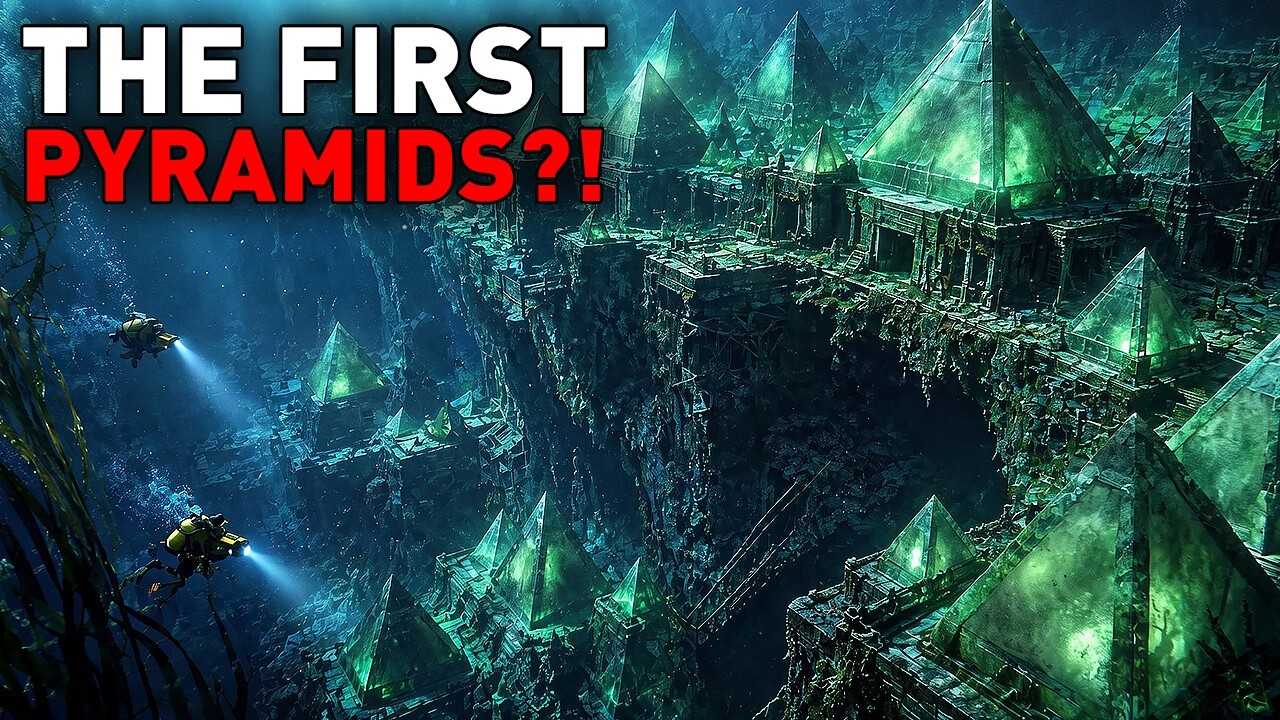
Sarmast first examined the region in 2004 while looking for evidence of Atlantis. The technology available at the time was not precise enough to reveal what the data contained. After re-examining the same information with AI tools, he abandoned the Atlantis hypothesis. Instead, he reported an anomaly he could not account for and asked other scientists to investigate.
The area in question, known as the Latakia hills, lies between Cyprus and Syria. Thousands of years ago, during the last ice age, sea levels were lower and parts of the Mediterranean floor were dry land. Whatever sits at the bottom now has been submerged for a very long period.
Sarmast is planning a new expedition based in Cyprus. He intends to collect sediment samples using robotic vehicles. His goal is to gather enough physical evidence to bring conventional researchers into the discussion.
Natural processes can occasionally produce unexpected patterns on the seafloor. Salt tectonics and ancient river systems can leave traces that resemble human-made structures. Whether that explains these findings remains unclear. Sarmast is not making claims about what the structures are; he is asking questions.
A separate geological investigation has focused on the region popularly known as the Bermuda Triangle. The area between Florida, Bermuda, and Puerto Rico sits near unusual underwater features, including the deepest trench in the Atlantic Ocean and a large submerged platform beneath Bermuda.
The National Oceanic and Atmospheric Administration has noted that the Bermuda Triangle is not an officially recognized geographic name and that there is no evidence of disappearances occurring there more frequently than in other busy stretches of ocean. The region is, however, geologically interesting.
Bermuda itself rests on a massive underwater elevation known as the Bermuda Rise. Unlike typical volcanic island chains, which form over moving tectonic plates, Bermuda does not fit the standard pattern. The last known volcanic activity there occurred roughly 30 to 35 million years ago, yet the platform remains.
Using seismic data from a permanent station on Bermuda, scientists detected evidence of a buried rock layer about 12.4 miles thick beneath the oceanic crust. The layer may be slightly less dense than the surrounding mantle rock, which could help support the seafloor from below. This suggests Bermuda may be held up by remnants of ancient volcanic activity rather than an active mantle plume.
To the south lies the Puerto Rico Trench, the deepest part of the Atlantic Ocean at more than 27,000 feet. It sits along an active tectonic plate boundary where earthquakes and tsunamis remain genuine hazards. The slopes north of Puerto Rico contain massive landslide scars, some roughly 31 miles wide, which may have generated tsunamis in the past.
Weather also plays a role in the region. Many Atlantic storms and hurricanes pass through the area, and the official Atlantic hurricane season runs from June through November. Rogue waves, defined as waves more than twice the height of surrounding seas, can appear suddenly. The Gulf Stream, which flows through the wider region at an average speed of about four miles per hour, can carry debris far from an accident site before search teams arrive.
Navigation challenges have also contributed to the legend. Magnetic north differs from true north, and the variation changes by location and over time. In poor weather over open water, small navigational errors can compound quickly.
The geological discoveries do not confirm the legend, but they do deepen understanding of the area. The region is a complex natural environment shaped by strong oceanic and geological forces.
Scientists have also revised their understanding of Doggerland, a landmass that once connected Britain to mainland Europe. During the last ice age, it was not an empty wasteland but a thriving landscape of trees and animals, likely inhabited by early humans. As glaciers melted and sea levels rose, the land gradually submerged between roughly 10,000 and 7,000 years ago.
Researchers recently extracted ancient environmental DNA from sediment cores in the North Sea. Analysis of 252 samples from 41 core sections revealed traces of oak, elm, and hazel trees flourishing more than 16,000 years ago. This contradicts earlier assumptions about harsh, lifeless conditions in northern Europe during that period.
Among the findings was evidence of a tree related to modern walnut trees that researchers believed had disappeared from the region about 400,000 years ago. Its presence suggests that species may survive in small hidden pockets rather than vanishing entirely when their main range contracts.
The evidence also indicates parts of Doggerland remained above water during major flooding events, including a tsunami triggered by a submarine landslide about 8,150 years ago. The land fragmented slowly before disappearing completely. Its remnants remain preserved beneath the seafloor.
In Antarctica, researchers have made several discoveries about life and climate history in extreme conditions. Between late 2019 and early 2020, a field team drilling through ice in a remote area found liquid water at a depth of about 40 feet. The water came from a glacier feeding the lake through underground channels. Within the lake, they found microbial mats, some growing in spiky formations up to about 15 inches tall in total darkness beneath thick ice.
Another team has been seeking ancient ice cores to extend the climate record beyond the current 800,000-year reach. Ice in parts of Antarctica may be three to four million years old, but it is often disturbed and difficult to read. In one site, researchers recovered clear ice cores containing tiny air bubbles trapped for more than a million years. These bubbles preserve samples of the ancient atmosphere that can reveal past levels of carbon dioxide and other gases.
One period of particular interest dates to about 900,000 years ago. Genetic studies suggest the human population may have dropped to around 1,300 individuals worldwide at that time. Climate shifts are considered a possible cause, and the air trapped in ancient bubbles may help clarify what conditions those early survivors faced.
Satellite surveys have also revealed a preserved ancient landscape beneath more than 6,000 feet of Antarctic ice. The terrain includes valleys shaped by rivers and ridges formed by tectonic activity dating back roughly 34 million years, before the continent froze over. The ice covered the landscape and preserved it in place.
The Pharos of Alexandria, one of the Seven Wonders of the Ancient World, stood about 330 feet tall on the island of Pharos near the Egyptian port. Built around 280 BC, it guided sailors through difficult waters for more than 1,600 years before earthquakes brought it down in the 14th century. Its massive stone blocks then lay scattered on the seafloor for centuries.
In 2025, Egyptian and French teams recovered 22 of the enormous blocks from the water. Some weighed between 70 and 80 tons. The stones include door lintels, threshold slabs, and a monument of unknown purpose. They are now on land for the first time in more than 600 years.
These recovered pieces will not be used to rebuild the lighthouse as a physical structure. Too many pieces are missing, and much of the original material was reused over the centuries. The site is now occupied by the Qaitbay Citadel, built on the lighthouse’s foundations.
Instead, the stones will be studied and preserved. The larger initiative, known as the Pharos Project, involves high-resolution three-dimensional scanning of every recovered piece. The goal is to create a digital reconstruction of the lighthouse that visitors can explore virtually.
Archaeological work off Indonesia has also produced significant findings. Dredging activities yielded more than 6,000 fossil specimens, including remains of Homo erectus dating back roughly 140,000 years. The discoveries have changed views about how early humans lived and moved through Southeast Asia.
During the ice age, lower sea levels exposed large areas of what is now submerged seafloor. The islands of Java, Sumatra, Borneo, and Bali were connected to mainland Southeast Asia through a landmass called Sundaland. Early humans could walk across vast territories without boats.
Fossils recovered from the Madura Strait show signs of butchering, including cut marks on turtle shells and split animal bones. The evidence suggests Homo erectus actively hunted and processed animals, behavior more sophisticated than previously assumed. The presence of such techniques raises questions about whether different early human groups interacted, exchanged ideas, or interbred.
When the ice age ended and sea levels rose, Sundaland disappeared beneath the ocean. Entire ecosystems and human settlements were submerged, and the archaeological record of these environments now requires underwater investigation.
In 1958, farmers searching for bat guano in a cave in China found skull fragments that turned out to be about 300,000 years old. The fossil, called Maba 1, has puzzled researchers ever since. Using micro-CT scanning, scientists found internal structures unlike those of Neanderthals. The braincase shape resembles that of Homo erectus, but the volume and form are closer to modern humans and Neanderthals. It also has features not typically seen in Homo erectus, including a depression in the forehead that may have resulted from an injury the individual survived.
Maba 1 does not match any known species exactly. It shares traits with several types of early humans and resembles other enigmatic fossils found across Africa, such as a skull from Tanzania dated to the middle Pleistocene and a specimen from Zambia known as Kabwe Man, dating to approximately 299,000 years ago. Each of these fossils adds to a developing picture of human evolution as a complex process of multiple coexisting groups rather than a simple linear progression.
Underwater archaeology has also produced evidence of early human activity in the Great Lakes region. In 2013, researchers working on an ancient land ridge submerged beneath Lake Huron found two obsidian flakes that had been unearthed from a clay sample. The volcanic glass originated in central Oregon, about 2,500 miles away. Radiocarbon dating placed the site at around 10,000 years old.
The site appears to have been used for hunting caribou as the last ice age ended. The source of the obsidian indicates that early people obtained materials through a long-distance exchange network. Researchers have also found submerged ancient trees with intact roots and peat deposits preserving seeds and leaves. The cold freshwater environment preserved organic remains that would normally decompose on land. The team is working with scientists at Cambridge University to extract DNA from the materials.
Elsewhere, the submerged city of Pavlopetri off the coast of Greece is considered the oldest known sunken city. First documented in 1904 and rediscovered in 1967, it dates to the Bronze Age. The ruins cover roughly 100 by 500 feet and include at least 15 buildings, courtyards, streets, and graves. Pottery indicates the city was inhabited from about 3000 BC to 1100 BC. Scientists believe an earthquake likely caused the city to sink.
Off the coast of Japan, divers found a massive underwater rock formation near the Ryukyu Islands in 1986. Known as the Yonaguni Monument, it consists of tiered platforms and sharp steps resembling a pyramid about half the size of a football field. Some researchers believe it may be more than 10,000 years old and possibly the remnant of a lost civilization. Others argue the formation is entirely natural, the result of tectonic activity and erosion. The site is open to divers.
The ocean floor contains numerous other objects of interest. Parts of rocket engines from the Apollo program have been recovered from the sea, including a component from Apollo 11 now displayed in a Seattle museum. Two steamships from the 1850s rest off the coast of New Jersey. A shipping container lost at sea dumped thousands of Garfield telephones onto the coast of Brittany, France, starting in the 1980s. Storms have also shifted ancient shipwrecks, revealing hoards of coins and gems now held in museums.
The submerged pirate city of Port Royal, Jamaica, was destroyed by an earthquake and tsunami in 1692. Other sunken sites include Thonis-Heracleion in Egypt and the Roman city of Baiae in Italy, which sank after its ground subsided.
In Japanese waters, divers in 1995 discovered perfectly circular patterns on the seafloor. The designs, about six feet in diameter, were created by a small male pufferfish. The fish uses its body and fins to carve geometric patterns in the sand, decorating them with shells and coral as part of a mating ritual. Females lay eggs in the center of the design, and the male guards them until they hatch.
In 1992, a cargo ship lost 28,000 rubber bath toys, including ducks, turtles, beavers, and frogs, during a storm in the Pacific. The toys drifted to numerous coastlines over the following years.






