In 2011, geologist Danny Hilman Natawidjaja was mapping earthquake fault lines in the volcanic highlands of West Java, Indonesia. He was not an archaeologist and was not searching for ancient ruins. His assignment was to assess seismic risk for Indonesia’s National Research and Innovation Agency. While surveying terrain near the village of Karyamukti, roughly 120 km southeast of Jakarta, his instruments detected anomalies beneath a forested hilltop. The subsurface readings did not match the region’s volcanic geology. The density patterns and layering suggested something constructed rather than naturally formed.
Further investigation with ground-penetrating radar indicated a large, multi-layered structure deep inside the hill. The deepest layer, according to the data, could date back more than 20,000 years. If accurate, this would make the structure far older than Göbekli Tepe in Turkey, which is generally dated to around 11,600 years old, and considerably older than the Egyptian pyramids. The site, known as Gunung Padang, or “mountain of enlightenment” in the local Sundanese language, has become the subject of ongoing scientific debate.
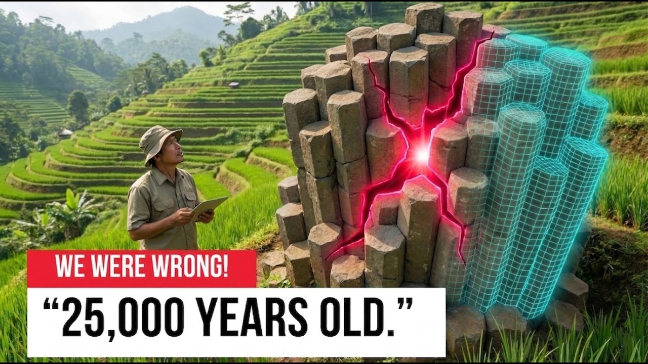
The site was not hidden. A Dutch colonial officer reported stone structures there in 1890, and in 1914 Dutch archaeologist Nicolaas Johannes Krom documented terraces made from volcanic columns, classifying the location as megalithic. The site then received little attention for decades. In 1979, local farmers rediscovered the overgrown ruins, and archaeologists found five artificial terraces with stone retaining walls and a staircase of 370 steps. The terraces contain an estimated 50,000 andesite columns, each weighing roughly 250 kg, with some exceeding 600 kg. Pottery fragments from the surface were dated to around 2,000 years ago, and the site was classified as the largest megalithic site in Southeast Asia.
Between 2011 and 2014, Natawidjaja’s team conducted a comprehensive subsurface survey using four methods: ground-penetrating radar, electrical resistivity tomography, seismic tomography, and core drilling. All four approaches indicated that Gunung Padang is a layered structure extending 20 to 30 meters deep. The team identified four construction phases. The top layer corresponds to the visible terraces, dated between 2,000 and 1,100 BCE. A lower layer showed more intricate stonework, dated between 6,000 and 5,500 BCE. A third layer contained horizontal rows of stone columns with a mortar-like binding material, dated between 7,900 and 6,100 BCE. The deepest layer returned radiocarbon dates between 25,000 and 14,000 years ago, a period when conventional archaeology holds that humans were hunter-gatherers without the capacity for coordinated construction.
The research also detected voids within the structure. Electrical resistivity and seismic tomography both indicated cavities, possibly up to 15 meters long and 10 meters high. During one drilling operation, the team reported losing over 32,000 liters of water into the hill, suggesting an underground opening.
The findings were published in the journal Archaeological Prospection in October 2023. Other archaeologists criticized the study, noting that radiocarbon dates came from soil samples rather than artifacts directly linked to construction. The journal retracted the paper five months later. The authors disputed the retraction, and all twelve members of the research team rejected the journal’s decision. The retraction challenged the dating but did not address the structural data collected by the four scanning methods.
The question of who might have built the deepest layers has led researchers to consider the geological history of the region. During the last ice age, sea levels were about 120 meters lower than today. This exposed a landmass known as Sundaland, which connected the modern Malay Peninsula to Borneo, Java, and Sumatra. Humans are known to have occupied the region for tens of thousands of years. As ice melted starting roughly 18,000 years ago, sea levels rose in several major pulses, flooding most of that landmass and creating the present-day islands of Indonesia. Any structures built on the lowlands of Sundaland would now be underwater. Gunung Padang, located on high ground, would have remained above the rising water.
A notable detail is that bone tools dating to around 7,000 BCE were found in a cave less than 30 miles from Gunung Padang. Those tools are simple and consistent with basic Stone Age technology, which contrasts sharply with the sophisticated construction claimed for the hilltop site. Some researchers have suggested that the builders may have come from the now-submerged lowlands, carrying knowledge developed on Sundaland before it was flooded.
The site also holds symbolic significance for the local Sundanese people. The number five appears throughout the complex, including five terraces, five surrounding hills, and five rivers. The basalt columns are predominantly five-sided. In Sundanese cosmology, the number five holds sacred meaning. On the lowest terrace sits a five-foot andesite block known as the Batu Kukapi, or stone lute. It produces a resonant tone when struck, and other stones at the site reportedly generate different pitches. Whether these acoustic properties were deliberate is unknown, but the Sundanese have used the stones for centuries in rituals.
The Indonesian government designated Gunung Padang a national cultural heritage site in 2014. The chambers detected by the subsurface surveys have not been opened, and no further invasive investigation has been permitted. What lies inside remains unknown. Comparisons have been drawn to Göbekli Tepe, which was deliberately covered with soil around 8,000 BCE for reasons that are still debated. At Gunung Padang, the deeper layers also appear to have been buried before the next layer was built above them. The pattern suggests a repeated practice of sealing each phase of construction.
Gunung Padang remains a living sacred site. Local Muslims climb the steps to read the Quran among the stones, Hindus from Bali hold ceremonies there, and practitioners of the Indonesian martial art Pencak Silat train on its terraces. The geophysical data confirming layers and voids beneath the hill has not been disputed. The dating of the deepest layers remains contested, and the chambers have never been examined. The site continues to raise questions about the timeline of human construction and what may lie beneath the flooded plains of the Java Sea.






