In eastern Turkey, about 18 miles south of Mount Ararat, a boat-shaped formation roughly 515 feet long sits at an elevation of about 6,500 feet. Known as the Durupınar formation, it was first noted in 1959 by Turkish army captain İlhan Durupınar, a cartographer who spotted the shape while examining aerial reconnaissance photographs. The site has since been the subject of intermittent investigation and debate over whether it is a natural geological feature or the remains of an ancient vessel.
The formation’s dimensions have drawn particular attention. According to the biblical account, Noah’s ark was described as 300 cubits long. Using the royal cubit of roughly 20.6 inches, that measurement works out to approximately 515 feet, which matches the length of the formation. Its width has also been compared to the 50-cubit width described in the same text. The site lies near the peak traditionally associated with the ark’s resting place.
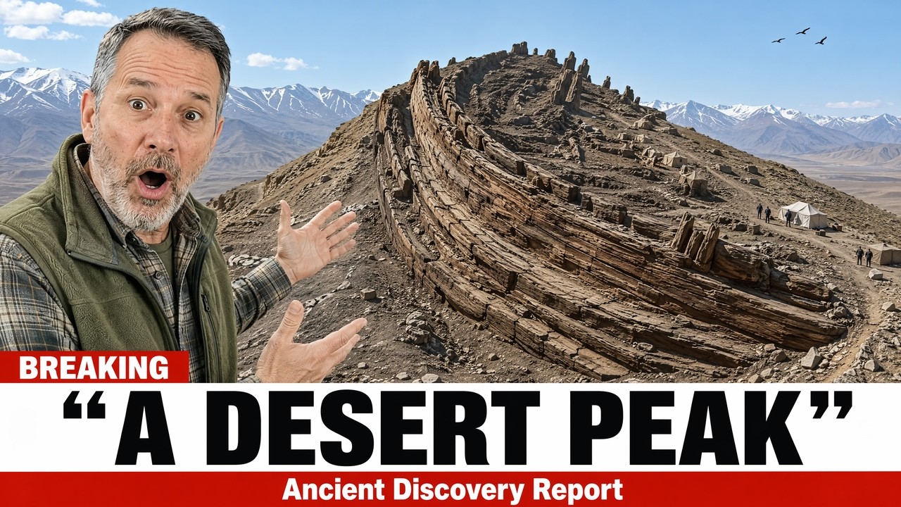
Durupınar flagged the formation because it did not resemble typical terrain. The photograph was published in 1960 and generated brief interest due to its proximity to Mount Ararat. For nearly two decades afterward, the site received little attention.
In the late 1970s, Ron Wyatt, an American nurse anesthetist without formal archaeological training, visited the site after obtaining the images. Wyatt made numerous claims over his lifetime that mainstream scientists rejected. However, his work at the site included ground-penetrating radar surveys in the mid-1980s. The scans reportedly showed regular, evenly spaced lines beneath the surface, which some interpreted as internal structures consistent with a ship’s ribs or bulkheads. Wyatt’s team also reported metallic readings at regular intervals and collected samples they said contained iron, traces of other metals, and material described as fossilized wood.
Skeptics responded that the metal readings could be explained by naturally occurring iron in the region’s volcanic soil, and that the radar patterns were consistent with natural rock layering.
In 1987, the Turkish government officially recognized the Durupınar formation as a protected national site. A visitor center was later built overlooking the location.
In the late 1990s, geologist Lawrence Collins published a detailed rebuttal. He argued that the boat shape resulted from soft, mud-rich rock flowing downhill around a harder core of stone. He noted that similar formations exist elsewhere in the same valley, and that the parallel lines detected by radar could be natural sediment layers. His explanation accounted for most of the observed features without requiring human construction.
The main unresolved issue was the dimensions. A random mudflow would not naturally stop at a length closely matching 300 royal cubits, nor would it produce a width approximating the 50 cubits specified in the ancient text. The formation’s proximity to the mountain named in the flood story added to the difficulty of dismissing the measurements as coincidence.
Beginning around 2019, a new team of researchers, including geologists and archaeologists connected to Istanbul Technical University and several American universities, returned to the site with modern equipment. They collected rock and soil samples from the surface and from within the formation and sent them to laboratories for analysis.
In late 2023, the team announced initial results. Samples taken from within the formation dated to roughly 3,000 to 5,000 years old, a period that overlaps with the timeframe many traditions associate with a great flood. The analysis also reported the presence of clay materials, marine materials, and remnants described as seafood or ocean-derived substances in soil located more than 1,000 miles from the nearest sea and at an elevation of 6,500 feet.
The researchers did not claim the findings constituted final proof. They stated that the study was ongoing and that more sampling and analysis were needed. One lead researcher said the data suggested there had been human activity at the site during the relevant period, and that while they did not expect to prove it was the vessel, the region and timeline warranted serious investigation.
The age of the marine material presents a particular problem for conventional explanation. Marine fossils are commonly found on mountains due to tectonic uplift, but that process occurs over millions of years. The material at the Durupınar formation dates to only a few thousand years, far too recent for uplift to explain its presence at that elevation. This leaves two possibilities: either the material was transported to the site by some event within the last few thousand years, or it arrived through a mechanism not yet identified.
The two independent methods used decades apart, radar in the 1980s and chemical analysis in the 2020s, both indicated organized internal structure and material that does not fit the surrounding geological context.
No laboratory has concluded that the formation is the remains of Noah’s ark. The research is ongoing, and the mudflow explanation still has credible supporters. The case remains unresolved, but it has not been as definitively closed as is sometimes suggested.
Durupınar, the captain who first saw the formation, flagged it in 1959 and moved on with his career. The shape he photographed remains in place, and after more than 60 years, its origin has yet to be fully determined.






