Researchers using artificial intelligence have identified more than 300 previously unknown geoglyphs in Peru’s Nazca Desert, doubling the number of known symbols and raising new questions about the ancient culture that created them.
The project, led by scientists from Japan’s Yamagata University, used machine learning algorithms trained on satellite imagery to detect subtle variations in soil color and texture that indicate human activity. The system completed in six months a survey that traditional methods would have taken decades to finish.
Among the newly identified figures is a 72-foot depiction of an orca holding a knife. The drawing is notable because the Nazca civilization lived hundreds of miles inland, and the level of anatomical detail suggests either direct knowledge of marine life or contact with coastal communities that has not been fully documented.
The new geoglyphs differ from the large-scale figures previously known. Many are smaller, only a few meters across, and appear designed for viewing at ground level rather than from above. Researchers also found that the symbols cluster along routes and gathering points, suggesting they may have marked pilgrimage paths or ceremonial circuits.
The Nazca lines have been studied for decades, but the AI analysis revealed patterns in grouping and placement that human researchers had not noticed. Some figures appear to have been modified over time, and styles vary in ways that suggest the desert was an active cultural landscape for many centuries.
Separately, lidar surveys around Machu Picchu have revealed hidden ceremonial spaces, water management systems, and residential areas beneath dense vegetation. The scans produced three-dimensional maps that showed structures not visible from the surface, including amphitheater-like terraces, workshops, and networks of channels that directed water from mountain springs.
The water systems appear to have been integrated into the design of the sites, with some channels intended to create sound or visual effects during ceremonies. The newly identified residential areas suggest that sites like Machu Picchu may have supported larger populations than previously estimated.
In northern Peru, archaeologists announced the discovery of a circular stone plaza at Callac Puma that dates to approximately 4,750 years ago. Carbon dating of organic material beneath the stones confirmed its age, making it one of the earliest known megalithic structures in the Americas.
The plaza, about 18 meters in diameter, was built from precisely cut stones fitted without mortar. It predates the Egyptian pyramids and Stonehenge and suggests that sophisticated construction techniques developed in South America earlier than previously thought. The site includes astronomical alignments and acoustic properties that appear designed to amplify sound for large gatherings.
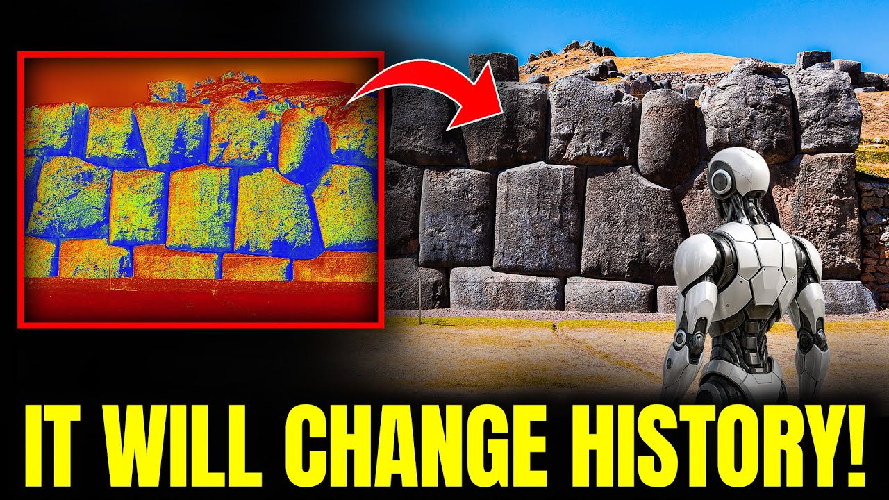
The stone construction techniques seen across Peru have long puzzled researchers. At sites like Sacsayhuamán near Cusco, stone blocks weighing up to 200 tons are fitted together so precisely that no gaps are visible and no mortar was used. The blocks feature complex curved surfaces that interlock like a three-dimensional puzzle.
According to historical records, Sacsayhuamán took more than 70 years to build with roughly 20,000 workers. The stones were quarried from locations up to 20 kilometers away, and the methods used to transport and position them remain unexplained. Modern attempts to recreate these techniques, even with power tools and cranes, have not achieved the same results.
Several theories have been proposed, including the use of plant-based acids to soften stone, the use of sound or vibration for cutting, and techniques that involved smaller stones to fill gaps. Some researchers have also suggested that the builders possessed advanced understanding of geology and material science, selecting stones with specific properties for different structural purposes.
Alternative theories, including those from writers like Graham Hancock, argue that these achievements point to advanced civilizations that predate mainstream historical timelines. Critics largely dismiss these claims as lacking evidence, but the precision of the stonework and the absence of gradual technical development in the archaeological record leave open questions.
The Callac Puma plaza also appears to be part of a larger complex of similar structures in the region. Preliminary surveys have identified at least a dozen other stone arrangements that may be of comparable age.
The AI analysis has also revealed that many Peruvian sites share celestial alignments tied to solstices, planetary cycles, and star clusters. Researchers found that different periods of construction emphasized different astronomical events, and that the geoglyphs appear to fit within a coordinated framework that integrated mathematics, landscape, and observation of the sky.
The discoveries at the Nazca lines, Machu Picchu, Sacsayhuamán, and Callac Puma have expanded the known scope of ancient Peruvian civilization and pushed back the timeline of complex stone construction in the Americas. The full extent of these sites remains unknown, and further analysis with AI and sensing technology is expected to continue reshaping the historical record.






