A 2023 academic paper claiming that a hill in West Java, Indonesia, contains a pyramid built as much as 25,000 years ago was retracted in March 2024. The journal that published the study withdrew it after external experts said the evidence did not support the conclusion. The lead researcher rejected the retraction, fieldwork at the site resumed, and the hill has since become the subject of a new official research program in Indonesia.
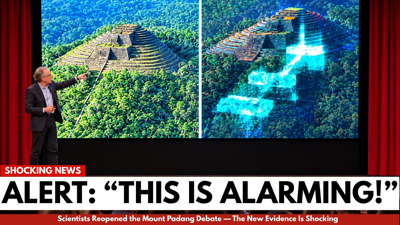
The site is called Gunung Padang. It sits about 885 meters above sea level in Cianjur Regency, roughly 120 kilometers southeast of Jakarta. The complex consists of five terraced levels that cover about three hectares. The terraces are supported by stone retaining walls, and the summit is lined with columns made from andesite and basalt. These are natural columnar formations that cooled and fractured into hexagonal prisms, which people assembled into walls and terraces.
Archaeologists classify the site as a punden berundak, a terraced sanctuary associated with ancestral worship that appears across the Indonesian archipelago. The Sundanese community has treated the hill as sacred for generations. The name Gunung Padang is commonly translated as “Mountain of Awakening” or “Mountain of Light.” Dutch colonial scholars first mentioned the site in a 1914 report, and it was formally recognized as a protected national heritage site after local residents alerted authorities in the late 1970s.
The visible monument is generally dated to around 2,500 BCE. That places it within a broad megalithic tradition that existed across Indonesia, where communities raised stone seats, altars, and standing stones for rituals. On the island of Sumba, families still drag large stone slabs to build megalithic tombs today.
The controversy concerns what lies beneath the exposed terraces.
In 2011, a team led by Danny Hilman Natawidjaja, a geologist at Indonesia’s National Research and Innovation Agency, began investigating the interior of the hill using ground-penetrating radar, electrical resistivity tomography, and seismic tomography. The team also drilled cores and dug trenches. The scans suggested the hill contains several distinct layers, which the team interpreted as separate construction phases stacked over time.
In October 2023, Natawidjaja and eleven co-authors published a paper in the journal Archaeological Prospection. The paper claimed that the deeper layers of the hill were not natural but built by humans, and that they were constructed over an extraordinary period. The deepest unit was dated to roughly 16,000 to 27,000 years ago. The paper also thanked British writer Graham Hancock, known for his theories about a lost advanced civilization destroyed at the end of the last Ice Age, for proofreading the manuscript.
The paper received international attention within days. The claim was striking because it would mean the structure predates Göbekli Tepe in Turkey, currently the oldest known monumental site at about 11,500 years old, by more than twice its age. It would also predate Stonehenge, the pyramids of Egypt, agriculture, pottery, and writing.
Criticism came quickly from archaeologists, geophysicists, and radiocarbon specialists. Their objections fell into several categories.
The carbon dates were taken from soil samples, not from artifacts or materials directly connected to human activity. Soil can be much older than anything built on or in it, and disturbed layers can mix carbon of different ages. Dating soil near a structure does not date the structure itself.
The layered features visible in the scans could be natural geology. Cooling lava, weathering, and columnar jointing can produce regular, orderly formations. Some geologists noted that the surface rocks and deeper rocks share the same composition, suggesting a single natural formation rather than multiple human-built layers.
The deepest levels contained no clear evidence of deliberate construction, such as tool marks, worked stone, hearths, charcoal, bones, or domestic debris. Artifacts found at the site are associated with much later periods, some as recent as the twelfth or thirteenth century CE.
The idea that hunter-gatherers in the middle of the last Ice Age built a massive dressed-stone structure in Southeast Asia was difficult to reconcile with what is known about tool technology of that era anywhere in the world.
Indonesian archaeologists also expressed skepticism. One described the pyramid claim as the result of reaching a predetermined conclusion and looking for evidence to support it.
The journal initiated a formal review involving outside experts. In March 2024, Archaeological Prospection retracted the paper. The publishers said the radiocarbon dates were taken from soil samples not demonstrably linked to human activity, and that this issue had not been caught during peer review. The editors did not rule on every contested point. They focused on the single flaw they considered fatal to the central claim.
Natawidjaja did not withdraw his position. He argued that the review ignored years of surveys, cores, and trench excavations. He said the team welcomed other researchers to visit the site and study the data. The controversy continued beyond academic journals. The claim had been featured in popular media, and the role of Graham Hancock, whose Netflix series Ancient Apocalypse had already presented the site as evidence of a lost civilization, added an extra layer of public interest.
The retraction did not end the story. The site has become more widely known, and research has resumed.
In late 2025, Indonesia’s Ministry of Culture formed a dedicated Gunung Padang research team. Restoration work on the stone terraces began around December 2025, with excavations and assessments planned across multiple disciplines. The ministry itself is relatively new; Indonesia created a separate culture ministry in late 2024, which has allowed more focused attention on the site.
A separate research effort at the University of Indonesia is examining the magnetic properties of the stones. When lava cools, magnetic minerals within it lock in the direction of the Earth’s magnetic field at that moment, like a compass needle frozen in stone. If stones remain where they originally cooled, their magnetic orientation should match their surroundings. If humans moved them or they rolled down a slope, the alignment would be disturbed. The method has limitations, including the fact that lightning strikes can erase magnetic signals in exposed rock, but it offers a way to test whether the stones were moved.
The question of what is actually buried under Gunung Padang remains unresolved. Both sides in the dispute agree on several points. The terraces are real. The masonry is real. People built the visible structure, using natural stone columns in an organized way. The site is an important heritage site that local communities continue to revere.
The disagreement is about what the deeper layers mean. Either they are human construction built over thousands of years, or they are natural volcanic layers on which people later built terraces using surface stones.
What could resolve the question is not more radar scans or another provocative headline, but wide, carefully documented excavation trenches that can show how each layer relates to the ones above and below it. Reliable dating would require material directly associated with human activity, such as buried charcoal from a sealed context, ideally cross-checked with luminescence dating that measures when buried sediment was last exposed to sunlight. Neutral teams without a stake in the outcome would need to analyze the data.
The larger lesson from the episode is that a bold, viral claim can spread far faster than the careful work required to test it. A headline can circle the world in days. A cautious correction takes months. The retraction was a reminder that peer review is not perfect, and that science sometimes corrects itself only after publication.
But the history of archaeology also offers a caution against dismissing unproven claims. In the 1960s, a survey concluded that the hill now known as Göbekli Tepe was nothing more than a medieval cemetery, and the site was ignored for three decades. It was only when Klaus Schmidt excavated there in the 1990s that the carved T-shaped pillars emerged, eventually rewriting the history of monumental architecture. Göbekli Tepe was inscribed as a UNESCO World Heritage site in 2018.
The visible monument at Gunung Padang is genuine and impressive. The deeper layers remain unconfirmed and unexplained. One research team believes they are extremely old human construction. Most independent experts say the honest answer is that nobody knows. Both sides are looking at the same radar images, resistivity maps, and core samples. They simply cannot agree on what these images mean.
The debate will not be resolved in comment sections or conference panels. It will require excavation. Until then, the site remains a protected national heritage monument, a sacred hill for local communities, and an open question in Indonesian archaeology.






