The Chesapeake Bay is often seen as a relaxed corner of the East Coast, known for its crab houses, sailboats, and wide, calm water. Beneath that surface, however, the bay is a dynamic and complex system shaped by geology, history, and ongoing environmental change. Its shoreline has drowned and re-emerged repeatedly, and many of its most familiar features are tied to hidden structures and events that are not visible from the water.
The bay is, in geological terms, a drowned river valley. When the last ice age ended roughly 18,000 years ago, melting glaciers caused sea levels to rise quickly, flooding the ancestral Susquehanna River and its tributaries. The bay runs about 206 miles from Virginia Beach to Havre de Grace and covers roughly 4,400 square miles. Its average depth is only about 21 feet, and a main channel still follows the old river course to a deepest point of about 174 feet.
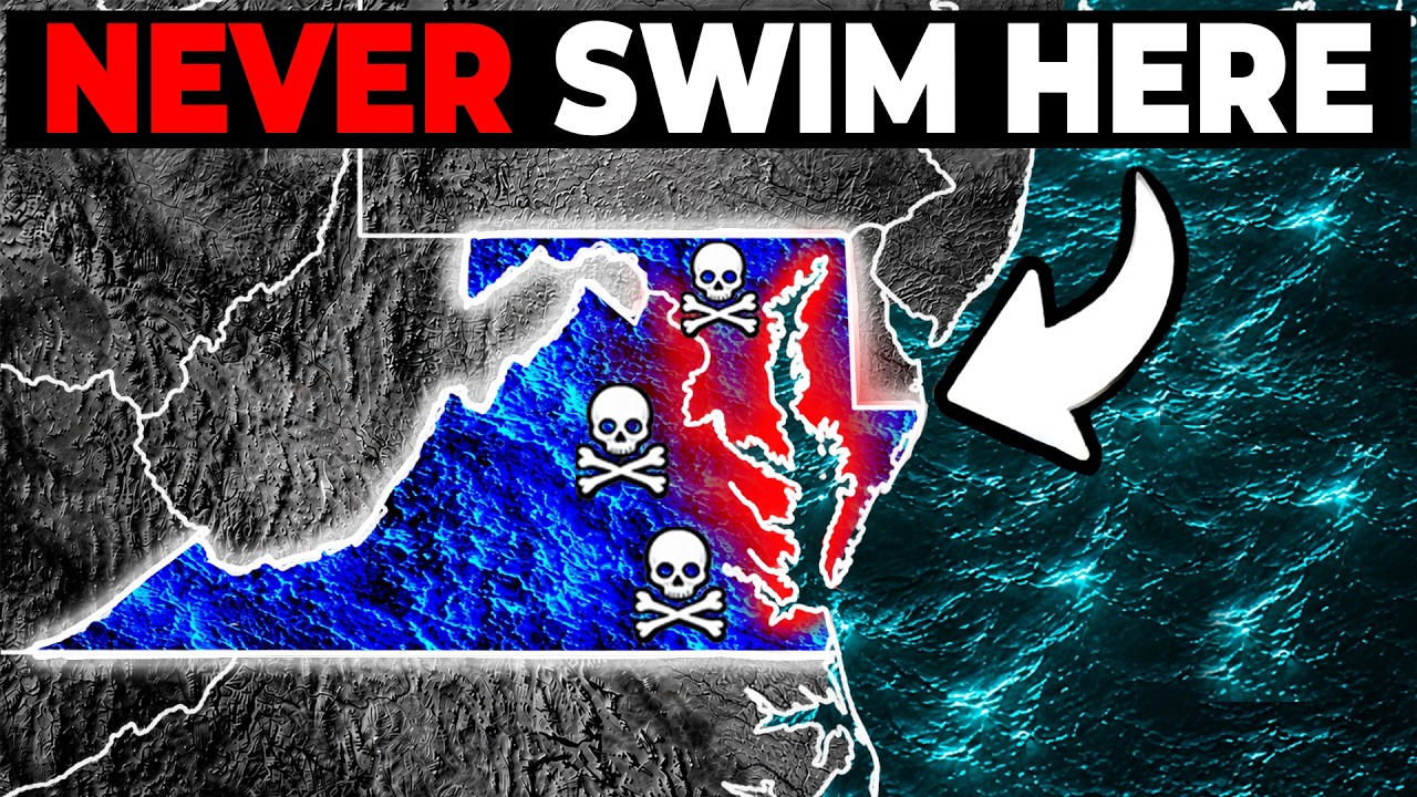
The bay is not a static pool. Around 51 billion gallons of fresh water enter it daily, mostly from the Susquehanna River, and an equal volume of salt water pushes in from the Atlantic. Fresh water slides across the surface toward the sea while denser salt water moves landward along the bottom. This two-layer circulation pattern affects temperature, salinity, and the distribution of fish, crabs, and oysters.
Salinity varies by zone. Near Havre de Grace, the water is essentially fresh. Moving south, it becomes increasingly salty, reaching near-ocean levels at the mouth between the Virginia capes. These bands determine where species live. Striped bass spawn in the fresh reaches of tributaries, while bottlenose dolphins are found in the warmer, saltier lower bay.
The bay floor is not flat mud. Underneath it lies a stack of older landscapes, including buried channels cut by the ancestral Susquehanna during periods when sea level was much lower. Seismic surveys have identified at least three generations of these channels. The youngest was carved about 18,000 years ago, and the oldest date back hundreds of thousands of years. Modern shipping lanes follow the deepest of these buried valleys.
One of the most significant geological features is a large impact crater beneath the bay’s mouth. About 35.5 million years ago, a bolide roughly two to three miles across struck the shallow continental shelf. The resulting crater is about 53 to 56 miles in diameter and extends more than a mile deep. It was buried under later sediment and only discovered in the 1990s through drilling and seismic work. The crater still affects the region, influencing groundwater salinity and patterns of land subsidence.
The land around the bay is also sinking. Relative sea level rise in the southern bay has run about two to three times the global average in recent decades. Roughly half of that is caused by the land itself dropping, driven by groundwater withdrawals and the slow flexing of the earth’s crust since the last ice age. This contributes to nuisance flooding, marsh loss, and rising infrastructure costs in places like Norfolk and Hampton.
Several islands in the bay have been losing ground for decades. Holland Island off Dorchester County had about 360 residents around 1910, with houses, stores, a church, and a school. The island shrank from roughly 160 acres in 1915 to about 80 acres by the early 2000s. Residents gradually moved their houses to the mainland as the water approached. The last standing house fell into the bay in 2010.
Tangier Island, about 12 miles off Virginia’s eastern shore, faces a similar situation. Around 400 residents, many descended from 18th-century English settlers, still make their living from blue crab. The Army Corps of Engineers and peer-reviewed studies indicate the island has lost about two-thirds of its land mass since 1850. Much of what remains is only three to four feet above sea level. A 2015 study concluded the town may need to be abandoned within 50 years as its ridges convert to marsh. Meanwhile, the island’s crab houses continue to ship soft-shell crabs across the country.
In contrast, Poplar Island in the mid-bay has been rebuilt from dredged material. After erosion reduced it to a few acres, the Army Corps of Engineers and the Maryland Port Administration began pumping sediment from Baltimore Harbor’s shipping channels into rock-lined containment cells in 1996. The design calls for roughly 776 acres of tidal wetland and 829 acres of upland, built from about 68 million cubic yards of dredged material. Thousands of nesting birds now use the reclaimed ground.
The bay’s water quality has been a concern for decades. Nutrient pollution from agriculture, sewage, and urban runoff feeds algae blooms. When the algae die and decompose, bacteria strip oxygen from the bottom layer of water, creating dead zones. Summer forecasts have routinely projected dead zones on the order of 1.4 to 1.9 cubic miles. Agriculture is the largest single source of nitrogen reaching the bay, with the poultry industry on the Eastern Shore a major contributor.
Underwater grasses, critical nursery habitat for blue crabs, declined sharply through the 20th century due to runoff and sediment. Aerial mapping began in 1984, and recovery has been uneven. In 2022, about 76,000 acres of submerged grass were mapped, against a baywide goal of 185,000 acres. The largest contiguous grass bed is the Susquehanna Flats near Havre de Grace, where wild celery and water stargrass have re-established a meadow of about ten square miles.
Oyster reefs have also declined dramatically. Once described by colonists as lying thick as stones and posing navigation hazards, the reefs supported the world’s largest oyster industry in the late 1800s. Overharvesting, disease, and pollution reduced Maryland’s oyster reefs from roughly 200,000 acres to about 36,000 acres by 2008. Restoration efforts have rebuilt portions, including about 350 acres in Harris Creek seeded with an estimated two billion oysters. Some restoration projects now rely on fossilized shell imported from Florida and the Gulf Coast, as Maryland’s own buried shell deposits are largely spent.
The bay is also home to maritime history. In Mallows Bay, about 30 miles downstream from Washington, D.C., lie the remains of more than 100 wooden steamships built during World War I. The war ended before most were used. They were stripped of metal, burned to the waterline, and scuttled. The site is now the Mallows Bay-Potomac River National Marine Sanctuary, holding the largest wooden ship graveyard in the Western Hemisphere. At low tide, the ship ribs break the surface, and some have collected enough silt to grow trees. Kayakers paddle among the wrecks, which have become reefs supporting fish and birds.
The last active commercial sailing fleet in the United States still works the bay. Chesapeake skipjacks were designed in the 1890s to drag heavy oyster dredges across bars. Maryland law required dredging to be done under sail, a conservation rule that preserved the practice. At the peak, between 1,000 and 2,000 skipjacks worked the water. Today, fewer than a dozen still dredge commercially during the winter oyster season, based out of Tilman Island and Crisfield.
The bay’s shoreline has receded inland in many places. Blackwater National Wildlife Refuge in Dorchester County has lost more than 5,000 acres of tidal marsh since it was established in 1933. As salt water overtopped the marsh, loblolly pines and hardwoods died from the roots up, leaving stands of bare trunks standing in marsh grass. Biologists call these ghost forests. Sea level projections put the water about three to 3.7 feet higher by 2100, with as much as 90% of the refuge’s existing wetlands possibly becoming open water.
The Chesapeake Bay Bridge Tunnel, which crosses 17.6 miles of open water between Virginia’s Eastern Shore and Norfolk, is not simply a long bridge. It combines low trestles, two high-level bridges, two artificial islands, and two tunnels that drop beneath the shipping channels. The tunnels were necessary because the bay’s main navigational channels need 40 to 50 feet of clear water for Navy warships and cargo vessels. The crossing opened in 1964 and carries more than 3.5 million vehicles a year.
The Bay Bridge near Annapolis is actually two separate spans built 21 years apart. The original eastbound crossing opened in 1952, and a parallel westbound span opened in 1973. They were designed in different eras with different structural details but function as one continuous crossing.
Navigation and trade on the bay predate European settlement. Before the English arrived at Jamestown, the Powhatan Algonquian peoples and other tribes used the rivers and tidal creeks as the primary transportation network, moving by dugout canoe between villages for trade, diplomacy, and war. The waterways were the road system. The lower Pamunkey River, for example, was a working corridor rather than a barrier.
The marshes and tidal creeks of Maryland’s Eastern Shore also served as the landscape of Harriet Tubman’s enslavement and later as covert routes when she returned to lead others to freedom between 1849 and the late 1850s. The Harriet Tubman Underground Railroad Byway now traces about 125 miles and 36 sites across this ground. Research has emphasized that many enslaved people used water routes rather than overland paths, and the protected marshes and forests at Blackwater remain largely unchanged.
The bay’s fishing industry has seen major recoveries and declines. Atlantic striped bass, known locally as rockfish, crashed in the early 1980s after record harvests and degraded spawning habitat. Maryland imposed a complete moratorium on recreational and commercial harvest in 1985, the first bay state to do so. The ban, combined with coastwide protections, allowed the stock to recover, and by 1995 the Atlantic coastal population was declared fully restored.
The bay’s blue crab population depends on an offshore journey. Most mating occurs in brackish mid-bay water, after which mature females migrate toward the bay entrance. They carry egg masses that can hold up to eight million eggs. The larvae hatch and are swept into Atlantic coastal water, where they ride currents for roughly 30 to 45 days before returning through the bay’s mouth and settling into grass beds and shallow coves to grow.
There are also more recent disasters that reshaped the shoreline. Hurricane Isabel drove a storm surge up the bay in September 2003. Water at Annapolis peaked at about 7.3 feet above the National Geodetic Vertical Datum, the highest reading there since 1933. Streets, piers, and ground floors of shops went under, and parts of the U.S. Naval Academy sat beneath as much as eight feet of water, causing an estimated $116 million in damage. More than 570 homes in Annapolis were declared uninhabitable. The historic-looking waterfront that tourists photograph today is largely a reconstruction built after that flooding.
Naval Air Station Patuxent River, established in 1943, is the Navy’s principal site for research and testing of aircraft. The Atlantic Test Ranges include an instrumented range over the middle of the bay that functions as an outdoor laboratory. Test squadrons conduct supersonic operations in restricted airspace, including low-level weapon separation runs, with camera tracking stations along the shore. The marsh may look quiet, but the airspace is tightly managed.
The bay also has a darker geological layer. Salty groundwater reaches about 30 miles farther inland than would be expected along a coast. United States Geological Survey work attributes this to the buried impact crater, whose disrupted sediments trapped seawater and altered groundwater flow across the Virginia coastal plain. Some deep wells tap water too salty for normal drinking use, and utilities have had to build treatment projects along the crater’s edge. A 2004 test hole near Cape Charles went down 2,699 feet and found groundwater saltier than modern seawater.
The Chesapeake is also a place of unusual wildlife. Bay nettles, a species of jellyfish, concentrate in a narrow band of brackish water where salinity sits between about 10 and 16 parts per thousand. The band typically runs across the middle bay between the Chester River and the Potomac. It moves with weather patterns, so a cove that stings every year may not one summer, and a dry season can push the nettles farther up the estuary.
Calvert Cliffs State Park offers a family beach day with a bluff behind it up to 100 feet high, running about 25 miles between Chesapeake Beach and Drum Point. The cliff face exposes sediment layers laid down between roughly 20 and 10 million years ago when the area was a shallow ocean. More than 600 fossil species have been identified, including shark teeth, dolphin bones, and whale vertebrae. Fossils wash out of the eroding bluff and onto the sand, where beachgoers can collect them.
The bay’s steamboat era left its own mark. In the late 1800s and early 1900s, passenger and freight steamboats connected small riverside communities to Baltimore, Norfolk, and Annapolis. The landings those boats served gave many roads their names, and a few buildings still stand, including stores on St. Leonard Creek and a replica of an 1883 warehouse on the Choptank River.
The native oyster population once shaped the bay’s ecology in ways that are still being understood. Comparing surveys from the 1870s and the 1940s shows reef height and volume collapsing while the mapped area stayed similar, indicating shell and live oysters were physically removed by harvest rather than reefs simply shrinking. Those three-dimensional reefs filtered water, provided habitat, and buffered shorelines. Their destruction reduced the bay’s capacity to absorb nutrients and support marine life.
The Susquehanna River, which drains about 27,510 square miles across New York, Pennsylvania, and Maryland, supplies about half of all the fresh water the bay receives. When storms over Pennsylvania cause the river to spike, a slug of low-salinity water, sediment, and nutrients moves down the estuary over several days. This can stress shellfish and bury bottom habitat hundreds of miles downstream.
Winter ice once played a larger role in bay life. In hard 19th-century winters, ice on the Susquehanna near Havre de Grace became solid enough that temporary railroad track was laid across the frozen river. Watermen cut ice for commercial sale into the early 1900s. In 1935, a cold snap froze freighters in place, and Kent Narrows watermen went three weeks without income until channels were cut through the ice. NASA analysis found about 85% of the bay was ice-covered in February 1977, but coverage of that scale has not returned since.
The Chesapeake remains a working water, a recreational destination, and a subject of ongoing study. Its future is tied to rising seas, land subsidence, nutrient management, and the health of its grasses, oyster reefs, and fisheries. The people who live and work on the bay continue to adapt to a landscape that is neither static nor permanent.






