The Great Salt Lake in Utah is sometimes called America’s Dead Sea. It is not entirely dead, but its decline has become a central environmental concern for the region. In February 2023, Lynne de Freitas, executive director of the organization Friends of Great Salt Lake, went to observe the lake as she had for thirty years. Instead of standing at the water’s edge, she stood on dry, cracked salt crust. She later said she had watched the lake for decades and that it was now barely breathing.
The Great Salt Lake is the largest saltwater lake in the Western Hemisphere. At its peak in 1987, it covered more than 3,300 square miles. Today its surface area has shrunk to less than a third of that size. The story involves a metropolitan area of about 2.8 million people, a farming industry that relies heavily on the water, and a state government that has largely avoided binding restrictions on water use.
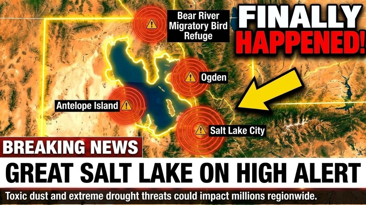
The lake exists because of a particular geography. About 17,000 years ago, a much larger inland sea called Lake Bonneville covered roughly 20,000 square miles, comparable to Lake Michigan. As the last ice age ended and temperatures rose, that massive body of water receded over thousands of years, leaving behind a series of smaller lakes. The largest remnant is the Great Salt Lake, located beside a narrow strip of fertile land called the Wasatch Front, between mountain ranges and desert.
That corridor, roughly 100 miles wide, is home to about 2.8 million people and includes Salt Lake City. The area depends on snowmelt from the surrounding mountains, which feeds three rivers that flow into the lake. The lake is not an afterthought of the system; it is integral to the region’s climate and ecology.
The core problem is an imbalance between water supply and water use. The lake receives about 3.1 million acre-feet of water annually from its tributary rivers, plus about 600,000 acre-feet from direct rainfall. It loses roughly 2.6 million acre-feet per year to evaporation. That leaves about 1.1 million acre-feet theoretically available for human use without lowering the lake level. Human consumption currently totals about 2.3 million acre-feet each year, creating a deficit of about 1.2 million acre-feet annually.
Cities and industries along the Wasatch Front use only about 9 percent of the water. Agriculture accounts for about 74 percent, and two-thirds of that goes to a single crop: alfalfa. Alfalfa, a feed grass for livestock, grows well in Utah’s dry valleys and can be harvested several times a year, but it requires large amounts of water. The crop accounts for nearly half of all water consumed in the lake’s basin while contributing less than 1 percent of Utah’s gross domestic product.
Utah’s state government, controlled by Republicans for decades, has not enacted binding limits on agricultural water use. Roughly a third of Utah’s state legislators have documented ties to the real estate sector, which benefits from continued development and population growth. The state’s official projections anticipate another 600,000 people moving to the Wasatch Front in the coming decades.
If the lake continues to shrink, the exposed lakebed becomes a source of dust. The sediment contains residue from industrial activity, agricultural chemicals, coal combustion, and naturally occurring heavy metals such as arsenic, lead, and mercury. Wind can carry fine particles from the dry lakebed into the air.
A smaller salt lake in Southern California, the Salton Sea, provides a comparison. That lake is about one-tenth the size of the Great Salt Lake and sits beside a relatively rural area with about 650,000 residents. Rates of childhood asthma there have risen to over three times the California state average, and the regional real estate market has suffered an estimated $7 billion in losses tied to air quality decline. Some researchers have described the potential collapse of the Great Salt Lake as one of the most serious environmental risks facing the United States.
The lake’s decline also affects winter snowfall in the mountains. The lake acts as a thermal buffer: relatively warm lake water heats the cold air moving over it, and that air rises and produces snow on the Wasatch mountains. Ski resorts in the region depend on this effect. In 2022, the year the lake reached its lowest recorded level, the ski season in the Wasatch range was about two weeks shorter than normal. A 2025 study by the Environmental Law Institute estimated that a complete loss of the lake would reduce average annual snowpack in the Wasatch by between 5.1 and 8.4 percent. Salt Lake City is scheduled to host the Winter Olympics in 2034, and the local ski industry depends heavily on reliable snow.
There is precedent for lake collapse in the American West. In the early 20th century, Los Angeles diverted the Owens River in eastern California to supply the city’s growing population, using a 233-mile aqueduct. The river was the sole water source for Owens Lake, which covered 108 square miles. By 1926, the lake had disappeared. The dry lakebed became a major source of particulate air pollution in the United States. The city spent over $2.5 billion on mitigation efforts, including gravel coverings, sprinkler systems, and a full-time dust control staff. Owens Lake is about one-fifteenth the size of the Great Salt Lake.
The lake also supports a notable biological chain. It is home to brine shrimp, which feed on algae and in turn sustain more than 10 million migratory birds annually traveling along the Pacific Flyway. The lake is a critical stopover point for hundreds of species migrating between Alaska and South America. If the lake disappears, those birds would be forced to find other routes and resting areas.
Brine shrimp harvested from the lake also supply about 40 percent of the global market for aquaculture feed. Farms in Asia, Africa, and Europe use the shrimp to raise fish such as tilapia, seabass, and shrimp. Utah’s brine shrimp industry generates over $67 million per year and supports more than 500 jobs.
Water policy in the Western United States is governed by a legal principle known as prior appropriation, commonly summarized as “first in time, first in right.” Farmers who established water rights in the 19th century are not required to change their practices under this system, which was designed for a much smaller population. Utah has taken some steps, such as voluntary programs that pay farmers to leave water in the lake and a 2023 law setting minimum lake levels, but enforcement remains limited.
In the winter of 2022–2023, the Wasatch Front received its heaviest snowfall in thirty years, and the lake partially recovered from its record low. Some observers cited the recovery as evidence that the crisis had been overstated. However, the recovery was the result of an unusually snowy winter, not policy changes or conservation efforts. The following winter, 2024–2025, brought the second-lowest snowfall on record in the region, and the lake began shrinking again.
Salt Lake City was named in 1847 by early settlers who built a settlement on the lake’s shore. The lake was central to the region’s landscape and climate. If the lake continues to disappear, the name will remain as a reference to what was once there. The situation has been documented extensively by scientists and researchers for years. The main factor missing has been a change in policy to address it.






