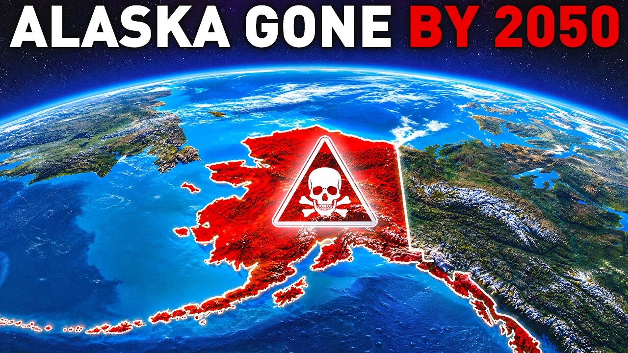
The state of Alaska is warming at roughly two to three times the rate of the rest of the United States, and the effects are visible in its terrain. In areas where the ground has long been held together by permafrost, rising temperatures are causing the soil to destabilize. Trees in some forests lean at sharp angles because the ground beneath them is softening. Local residents have referred to these as “drunken trees.”
According to climate projections cited in a report from the National Oceanic and Atmospheric Administration, a significant portion of the permafrost in these regions could become unstable within the next few decades. When underground ice melts, the structure of the land can collapse. The village of Newtok has been described as one of the first climate-related relocations in the United States, as the ground under homes became unusable and residents moved to more stable ground. Roughly thirty other villages in Alaska face similar conditions.
Melting permafrost also releases organic material that has been frozen for long periods. Microbes break down this material and release methane, a greenhouse gas. Warmer temperatures lead to more melting, which in turn can release more gas, creating a feedback loop.
Alaska is also home to volcanoes that sit near populated areas. Mount Spurr is located about 75 miles from Anchorage, where a large portion of the state’s population lives and where major air freight passes through daily. The Alaska Volcano Observatory has raised alert levels for the volcano in response to increased activity. Spurr erupted twice in the 1990s, causing an estimated $10 to $17 million in damages. A 1988 eruption of another Alaskan volcano, Redoubt, caused more extensive damage, largely due to aircraft encountering volcanic ash. In one case, a Boeing 747 lost power in all of its engines after flying through an ash cloud.
During its last eruptions, Mount Spurr sent volcanic aerosols into the atmosphere, which can reflect sunlight and cool the surface. The eruptions also produced pyroclastic flows, mudflows, and large rocks that were ejected several miles. Heat from the volcano melted part of a nearby glacier, and the resulting mudflows blocked a river, creating a new lake. Monitoring efforts helped reduce the economic impact of the eruption, especially for air travel.
Volcanoes are generally classified by activity level. A dormant volcano has shown recent activity but is currently quiet, while an extinct one has not erupted in a very long time. Mount St. Helens in Washington state produced the most powerful volcanic eruption in U.S. history. The 1980 eruption removed about 1,300 feet from the mountain’s summit and sent ash over several states. It killed 57 people and a large number of wildlife. Researchers do not expect an eruption of similar strength in the near future, but the volcano remains monitored.
The largest active volcano in the world is Mauna Loa in Hawaii, which has been erupting for at least 700,000 years. Its most recent eruption occurred in late 2022 and caused no casualties, in part due to monitoring by the Hawaiian Volcano Observatory.
In Iceland, researchers are working on a project to drill deep wells into volcanic rock near the Krafla volcano, which last erupted in the 1980s. The project aims to improve understanding of magma behavior, which could help predict eruptions and potentially develop geothermal energy. The team plans to begin drilling in 2027.
Volcanoes exist elsewhere in the solar system as well. The largest known one, Olympus Mons on Mars, is a shield volcano about 370 miles wide.
Scientists have also documented a large number of volcanoes beneath the ice of West Antarctica. Most are dormant, but two are officially classified as active. Mount Erebus has been erupting since at least 1972 and contains a rare lava lake. The other, Deception Island, last erupted more than fifty years ago. If volcanic activity under the ice were to increase, it could affect the flow of ice streams and, over time, contribute to rising sea levels, though most scientists consider a scenario involving widespread volcanic activity unlikely in the near term.
Greenland’s ice sheet also shows signs of change. In summer, parts of the ice that are usually bright white darken significantly. This is caused by a combination of black carbon from past wildfires and the growth of algae that darken as they absorb sunlight. Darker ice absorbs more heat and melts faster. Greenland has lost ice at an accelerating rate in recent decades. If the entire ice sheet melted, global sea levels would rise by roughly 24 feet.
A study of sediment from beneath a two-mile ice core found traces of willow, insect parts, fungi, and poppy seeds, indicating that Greenland was once a green tundra landscape about 400,000 years ago. The discovery shows that the ice sheet has melted in the past and may be more fragile than previously thought.
Researchers have also found that meltwater from the ice sheet contains microorganisms, including viruses. Some studies suggest that areas near meltwater streams may be more susceptible to viral transfer, though experts consider the likelihood of a dangerous virus emerging from glaciers to be low.
The Darien Gap, a stretch of dense jungle between Panama and Colombia, remains one of the few places in the world where a road cannot pass. It is the only break in the Pan-American Highway, which otherwise runs from Alaska to Argentina. Crossing the gap involves a trek through rainforest with steep terrain, heavy rain, and fast rivers. Travelers face dangers such as insect bites, infections, and injuries. There is no police presence, and there are no medical facilities. Some migrants crossing the region carry supplies, but many run out of food and water during the journey. The number of people attempting the crossing has risen sharply in recent years, from fewer than 10,000 in 2014 to more than 500,000 in 2023.
The region has long been considered difficult to cross. European explorers and later adventurers attempted it with varying degrees of success. Plans to build a road through the gap were considered by Latin American leaders in the 1970s and 1990s but were abandoned, partly due to concerns about protecting the rainforest and the communities living there. The area is highly biodiverse, and a road would likely have caused significant damage to the ecosystem.
Antarctica also contains evidence of a much warmer past. Researchers studying sediment drilled from the seafloor near the Pine Island Glacier found fossilized roots, pollen, and spores from a forest that existed about 90 million years ago during the Cretaceous period. Later analysis revealed small pieces of amber, which is fossilized tree resin. The amber suggests that the region once supported a swampy forest with conifers and ferns. At the time, carbon dioxide levels were much higher, and temperatures were warm enough for forests to grow near the poles.
The ice sheet in East Antarctica covers a landscape of hills and valleys that have been preserved beneath the ice for millions of years. These features were shaped by rivers and erosion before the ice formed.
In West Antarctica, Mount Erebus is known for releasing fine particles of gold, estimated at about 0.2 pounds per day. The particles are microscopic and dispersed over a wide area, making them essentially impossible to collect.
In 2017, scientists studying a river hidden under 1,640 feet of ice on the Ross Ice Shelf found small shrimp-like creatures living in the dark water. DNA evidence also revealed algae and possibly other small animals in caves beneath the ice.
The event that ended the last ice age may also be linked to volcanic activity. Around 20,000 years ago, Mount Takabe in Antarctica produced a series of eruptions that released ozone-depleting gases. Some scientists believe these eruptions contributed to warming in the Southern Hemisphere and helped accelerate the melting of glaciers. A similar sequence of events today is considered unlikely, but not impossible.
Elsewhere in the world, natural phenomena sometimes produce unusual sights. A stretch of mountain in northern China remains frozen year-round despite summer temperatures reaching the 90s. The cold spot is protected by a layer of coarse soil that insulates the permafrost beneath it.
In Argentina, the Perito Moreno Glacier continues to grow and periodically forms ice arches that collapse into the water. A beach in California called Glass Beach is covered in smooth, colorful pebbles that were once discarded glass and household waste. Over time, the ocean ground the debris into polished stones.
Angel Falls in Venezuela drops about 2,500 feet, and most of the water evaporates into mist before reaching the ground. In Scotland, a forest gorge called the Finnich Glen features red-tinted water and rock formations covered in moss. In western Australia, Lake Hillier is known for its bright pink color, which scientists attribute to salt-loving bacteria. The Marble Caves in South America are known for blue reflections created by water on marble walls.
Azerbaijan has more than 300 mud volcanoes, which erupt mud, water, and gas. In Turkey, the Pamukkale terraces are made of travertine, a type of limestone, and contain seventeen hot springs. Northern Ireland’s Giant’s Causeway consists of basalt columns formed by ancient volcanic activity. In Mexico, the Cave of Crystals contains massive selenite crystals, some over 30 feet tall, though the cave is too hot and humid for general visitors. The Caño Cristales river in Colombia is known for its colorful aquatic plants. The Waitomo Caves in New Zealand are lit by glowing larvae. The fairy chimneys of Cappadocia in Turkey are tall rock formations that have been carved into homes and hotels. Wave Rock in western Australia is a 46-foot rock shaped like a wave by wind and water. The Rainbow Mountains in China formed over millions of years as layers of sandstone accumulated in different colors.
One mystery that has drawn attention is the presence of thousands of large holes in the ocean floor off the coast of Big Sur, California. Sonar surveys have found about 5,200 of these depressions across a large area. Some are more than 30 feet across and 15 feet deep. Tests show that they are about 400,000 years old, meaning they are not caused by human activity. Many of the holes are filled with marine debris, including plastic and lost fishing gear, which animals have used as habitat. No definitive explanation has been found for the holes’ formation, though similar underwater sinkholes exist elsewhere, such as the “Green Banana” hole off the coast of Florida, which is home to a variety of marine life.
Another unexplained phenomenon is a low-frequency hum heard by about four percent of the population in various locations around the world. Many of those who hear it say it is persistent and interferes with sleep. Reports of the hum became widespread in the 1970s, starting in the English city of Bristol. It has also been reported in Taos, New Mexico, where a small percentage of residents hear it regularly. Scientists have considered several explanations, including tectonic activity, electromagnetic signals from submarines, lightning strikes, or industrial noise, but none fully account for the phenomenon. Some researchers believe the hum may be a kind of auditory hallucination caused by the brain interpreting low-frequency vibrations that most people ignore.
Several regions around the world are known for unusual disappearances. Alaska has its own so-called “triangle” between Anchorage, Juneau, and Barrow. Since the late 1980s, a large number of people have gone missing there. One of the earliest well-known incidents occurred in 1950, when a Douglas C-54 Skymaster carrying 44 people disappeared two hours into a flight from Anchorage to Montana. A search involving 85 aircraft and 7,000 people found no trace of the plane. Alaska’s extreme terrain, dense forests, and frequent weather changes make ground searches difficult, and many believe the aircraft may have gone down in remote or glaciated areas.
Other places have also attracted attention for strange occurrences. Field of Bamboo Valley in China is a dense forest where people have disappeared for centuries, possibly due to sudden ground openings, toxic vapors, or extreme weather. Magnetic Hill in India appears to pull cars uphill, though most scientists attribute the effect to an optical illusion. Lake Michigan has a history of ship disappearances, with no definitive explanation for many of them. In 2007, researchers found stones arranged in a circle on the lakebed that resemble a small Stonehenge, including a carving that may depict a mammoth. Near Lake Maracaibo in Venezuela, lightning storms occur up to 260 nights a year, creating more than a million flashes annually, likely due to the collision of cold mountain air with warm sea air.
The region known as the Bermuda Triangle, between Miami, Bermuda, and Puerto Rico, has been the subject of many theories involving magnetic anomalies or underwater geological features, though no evidence has confirmed any single explanation. Similarly, experts point to Alaska’s magnetic irregularities, which can cause compasses to be off by as much as sixty degrees.
In the 1970s, a drought linked to a strong El Niño event contributed to famines that killed millions of people, primarily in Asia, Africa, and South America. El Niño occurs when trade winds weaken and warm water in the Pacific shifts eastward, altering weather patterns worldwide. Some researchers believe a similar event may develop in the coming years, potentially with significant impact. In response, some scientists have proposed studying the possibility of reflecting more sunlight away from Earth to reduce the effects of such events. This approach, sometimes called solar geoengineering, would involve introducing particles into the upper atmosphere, similar to what happens naturally after large volcanic eruptions. Another proposal involves brightening marine clouds to reflect sunlight. Researchers have run computer simulations suggesting that such measures could weaken strong El Niño events, but the methods are controversial. Many climate scientists warn that the models are imperfect and that modifying the climate system could create unintended consequences.






