A supervolcano is a volcano capable of ejecting at least 240 cubic miles of material, roughly a thousand times more than a typical eruption. For comparison, that volume of debris would bury a city the size of Chicago under more than a mile of ash and rock. These eruptions leave behind enormous basin-shaped depressions called calderas, which sit above chambers of magma close to the Earth’s surface.
Supervolcanoes erupt less frequently than conventional volcanoes. The last known supereruption occurred more than 70,000 years ago in Sumatra, forming what is now Lake Toba, the largest volcanic crater on the planet. That eruption spread a layer of ash about six inches thick across most of South Asia and released large amounts of sulfurous gas into the atmosphere. Scientists estimate the gas blocked sunlight for six to eight years, causing widespread plant and animal die-off.
Conventional cone-shaped volcanoes erupt when magma fills a chamber and the pressure forces it through an opening. Supervolcanoes behave differently. Their magma chambers are so large that pressure does not build the same way. Instead, magma rises toward the surface because it is less dense than surrounding rock. If enough of this molten material accumulates, the pressure beneath the crust can release in a single massive surge.
Scientists have identified at least seven supervolcanoes worldwide. One sits beneath Yellowstone National Park. The Yellowstone Caldera measures roughly 37 miles across and is as much as seven miles deep. It last erupted about 640,000 years ago, and its eruption history suggests an interval of roughly 700,000 years between major events. A future supereruption there would likely bury parts of Wyoming, Idaho, and Montana under three feet of ash, with additional ashfall across much of the Midwest.
Researchers cannot prevent a supervolcano from erupting, but they monitor underground magma pressure to improve their ability to forecast such events. No known supervolcano is currently threatening to erupt in the near term.
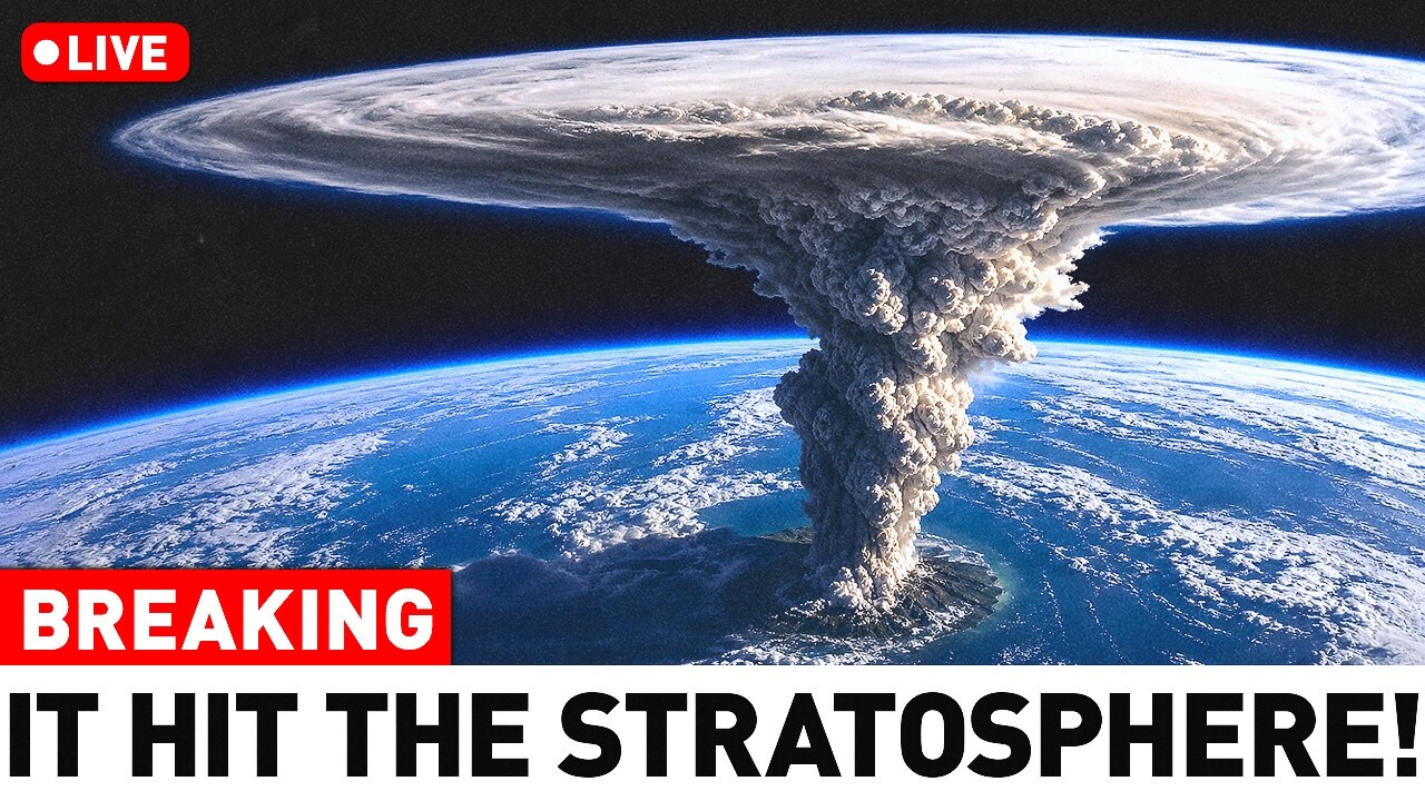
Volcanic activity remains an ongoing concern for scientists studying hazards around the world. At any given time, roughly 50 volcanoes are erupting globally. In 2022, an underwater volcanic eruption in the South Pacific near Tonga was observed from space and measured at roughly ten megatons, several hundred times more powerful than the atomic bomb dropped on Hiroshima. The event triggered tsunami warnings along Pacific coastlines. In Peru, two women died after being swept off a beach. The eruption also severed undersea communication cables, isolating Tonga, and ashfall delayed relief flights because runways were buried. Casualties were otherwise limited.
The Tonga event followed a period of notable volcanic activity elsewhere. A volcano on Iceland’s Reykjanes Peninsula erupted after roughly 6,000 years of dormancy. Cumbre Vieja on La Palma in the Canary Islands experienced its first eruption in 50 years, lasting three months and destroying homes, churches, and farms, with damage estimated above one billion dollars. Both volcanic systems gave years of warning through increased seismic activity and ground deformation.
The goal of volcano monitoring is not prediction but forecasting. Volcanologists aim to determine the timing, location, and style of an eruption, such as whether it will produce lava flows or explosive activity. To do this, they examine seismicity, ground deformation, and gas emissions, in a manner similar to how meteorologists analyze weather data.
Advances in monitoring technology have expanded what scientists can observe. Portable seismic stations allow rapid deployment in the field. Gravimeters placed along volcano slopes measure minute changes in gravity that may indicate gas-rich, low-density material moving upward. Drones are used to map lava flows, capture images of eruptions, and sample gases, making remote or hazardous areas more accessible.
Radar satellites in orbit record ground movements over time. These instruments can detect changes measured in millimeters or centimeters, allowing scientists to identify which volcanoes are deforming and which may become active. Satellites also provide near-continuous monitoring of volcanoes in remote locations where ground-based instruments are not available, including detecting eruptions that might otherwise go unnoticed.
Monitoring continues once an eruption begins, as changes in behavior can create new hazards. In 2021, the La Soufrière volcano on Saint Vincent in the Caribbean shifted from a relatively benign lava flow to more dangerous activity. Volcanologists on site recognized the transition, and evacuations followed. The decision to move people out of the affected area likely saved lives, as ash and pyroclastic flows later impacted the region.
That same year, an explosive collapse of the lava dome at Indonesia’s Mount Semeru occurred without an apparent warning, burying villages and causing 48 deaths. Similar hazards were present in the eruption of Mount Vesuvius in 79 AD, which buried Pompeii and Herculaneum. Archaeologists have found human remains in Herculaneum, including a man who could not outrun a pyroclastic flow, a fast-moving mixture of volcanic debris, gas, and ash. Earthquakes and tremors preceded that eruption, but the ancient Romans lacked the knowledge to interpret the signs.
Today, handling the large volume of monitoring data has become a challenge in itself. Artificial intelligence is being used to help identify anomalies across multiple data streams, making it possible to process information from many monitoring stations more efficiently.
Another emerging tool comes from space physics. Muons are subatomic particles produced when cosmic rays interact with Earth’s atmosphere. They are roughly 200 times larger than electrons and travel near the speed of light. Like neutrinos, they can pass through solid material. Researchers have developed detectors that measure how muons deviate when passing through denser materials, producing images of the internal structure of a volcano. The technique, called muography, has also been used to identify chambers inside the pyramids and to assess bridge stability.
Japanese researchers have deployed muon detectors around Sakurajima, one of the world’s most active volcanoes, both on the ground and in the air. The method can indicate whether a volcano’s conduit contains rising magma, which would cause stronger muon deviation. Muography is considered a potential late-stage monitoring tool, best used alongside other approaches. It can provide a clearer view of what is happening beneath the surface than methods that only detect indirect signs of activity.
No single technology provides a complete picture. Combining different monitoring approaches allows scientists to confirm findings or compensate for the limitations of individual methods. The goal is to assemble all available data into a coherent understanding of a volcano’s behavior.
Surprises are still expected. Not every eruption can be caught in advance, but continued study improves the chances of detecting the subtle signs that may precede a reawakening. The purpose of newer monitoring tools is to see more clearly beneath the surface, even when a volcano is quiet, and to better recognize the early indicators of activity.






