Researchers monitoring the floor of Lake Michigan have documented a number of large, circular holes appearing in the lake bed. The formations, some up to 40 meters wide, have been found in regions previously considered geologically stable. The cause of the holes is not yet known.
The discovery began during routine scans of sediment layers. Researchers noticed circular depressions that were unusually symmetrical. After ruling out equipment error, underwater drones were deployed to examine the formations more closely. The holes were found to have smooth interior walls and showed no signs of collapse or gradual erosion.
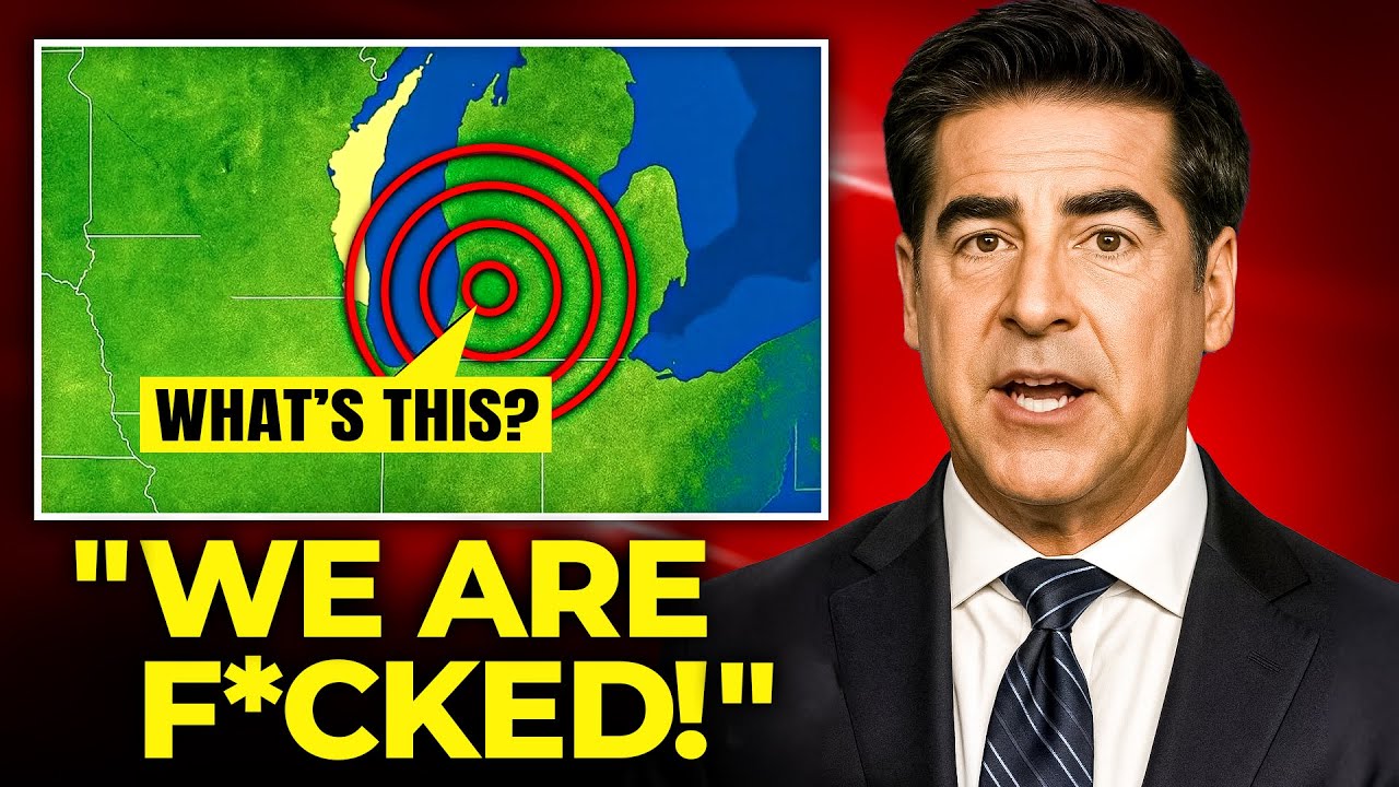
Over several weeks, additional holes appeared in different areas of the lake. They were consistent in shape and size. No seismic activity, temperature changes, or disturbances to aquatic life were detected in connection with their formation. The lack of any ecological or geological signature has made the phenomenon difficult to explain through conventional processes.
The distribution of the holes has also drawn attention. Rather than clustering along fault lines or appearing randomly, the formations are spaced at fairly regular intervals. Some appear to follow a grid-like pattern. This spacing does not correspond to known glacial or tectonic features.
Examination of sediment samples from the edges of the holes showed no variation from control samples taken elsewhere. There were no signs of heat exposure, chemical residue, or biological disruption. In some locations, layers of sediment appeared to have been pushed upward from below. The holes appeared in some cases within days of previous scans that showed a clean lake bed.
Re-examination of historical data has added context to the findings. Geological surveys from the 1970s noted a subterranean formation beneath western Lake Michigan that was classified as a minor igneous intrusion. Updated imaging indicates this formation extends deeper than previously thought. Its outer edges align with several of the new hole clusters. Some researchers have suggested the formation may be related to the holes, though the nature of any connection remains unclear.
Weak electromagnetic interference has been recorded near active hole sites. The signals are low-frequency and consistent, appearing only in the immediate vicinity of the formations. The source of the interference has not been identified. It does not appear to be linked to solar activity or other external factors.
Indigenous communities in the Great Lakes region have shared traditional accounts of openings in the water and unexplained sounds from beneath the surface. These stories have historically been interpreted as metaphorical. Declassified sonar data from Cold War-era Navy exercises also shows symmetrical depressions in the lake bed that were previously written off as equipment noise.
Lake Michigan supplies drinking water to millions of people and supports significant shipping and economic activity. Engineers have modeled potential scenarios involving shifts in the lake bed, including the possibility of pressure waves reaching the shoreline. No such events have occurred. Officials have prepared contingency plans as a precaution.
Seismic imaging has identified narrow vertical shafts beneath some of the holes. These shafts are straight and extend for miles in some cases, with branches that resemble root systems. Their composition does not match the surrounding rock. Researchers have not determined their origin, though they may represent weak points in the crust.
The investigation remains ongoing. Scientists are continuing to monitor the formations and analyze data from the site. No definitive explanation for the holes has been established, and researchers have not confirmed whether the phenomenon is new, cyclical, or tied to deeper geological processes.






